
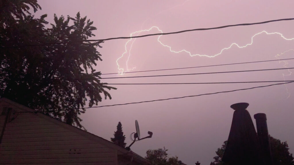
A fast‑moving severe thunderstorm rolled through the Fort Frances area last night, creating near‑constant lightning that was the signature of a storm with extremely strong updrafts and high atmospheric instability.
When warm, humid air surges upward into a colder layer aloft, the storm’s internal charge separation accelerates, producing rapid‑fire cloud‑to‑cloud and cloud‑to‑ground flashes that can look almost continuous.
The broader weather setup over Northwestern Ontario was primed for this, according to Environment Canada: a low‑pressure system pulling in moist air, a sharp temperature contrast, and strong wind shear all combined to create a highly energized storm capable of sustained electrical activity—a fully developed severe cell with the right ingredients to light up the sky nonstop.
The system has given way to a sunny day today, and favourable conditions for Canada Day celebrations on Wednesday.
For today, Environment and Climate Change Canada forecasts sun and a high of 27 C (81 F) with a UV index of 9 or very high and a humidex of 30 (86).
Overnight tonight will see some cloud moving in on the strength of a 30 km/h southwest wind with an overnight low of 17 (63).
Canada Day on Wednesday will see a mix of sun and cloud. Wind out of the southwest at 30 km/h gusting to 50 km/h. The temperature high will be 27 (81) but a humidex 31 (88) and a UV index 8 or very high.
Overnight clouds will move in with a 30 per cent chance of showers and a low of 16 (61).


